 =0=
=0=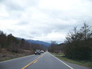 =0=
=0= =0=
=0= =0=
=0=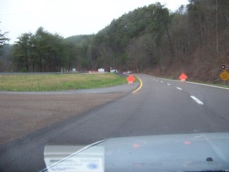 =0=
=0=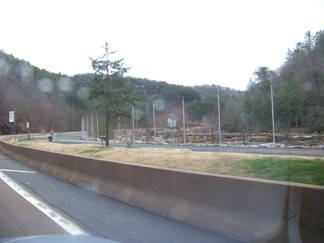 =0=
=0=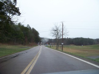 =0=
=0=View Larger Map.
 =0=
=0=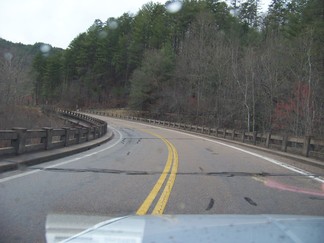 =0=
=0=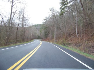 =0=
=0=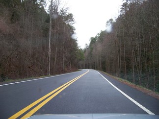 =0=
=0=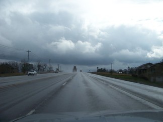 =0=
=0= =0=
=0=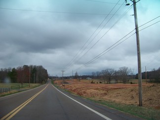 =0=
=0= =0=
=0= |
 =0=
=0= |
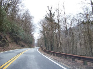
| As I was going along US Rt 74 I noticed signs warning that US Rt 64 was closed ahead due to a landslide. However, while Rt 64 and Rt 74 were both the same highway, I wondered why they didn't mention Rt 74 and if Rt 74 split off from Rt 64 before the blocked section. I ended up driving about ten miles on a very empty section of Rt 64 / 74 (below) before coming to the road closure (also below). Doh! |  =0=
=0= |
 =0=
=0= |
 =0=
=0= |
 =0=
=0= |
 =0=
=0= |
| So I was forced to back track past the site of some of the 1996 Summer Olympics which were formally in Atlanta, but signs claimed some of the events were held here (above) in Cherokee National Park. Then I took SR 68 north on the detour shown here. My GPS's were frustrating as they long recommended that I turn around and go on the closed section of US Rt 74. Droid was worse on SR 68 as that was a pretty desolate highway (below) and I lost data service with Verizon (I had only roaming voice service). Doh! My Droid had built in maps of the area, but no way to contact Google for routing information. | View Larger Map. |
 =0=
=0= |
 =0=
=0= |
 =0=
=0= |
 =0=
=0= |
| Once I reached Tellico Beach, my old GPS said that I should turn left onto SR 31 to get back to US Rt 74. I stopped to use the bathroom at a gas station and verified that it would take me past the closed section of Rt 74. The detour signs seemed to recommend that I continue on SR 68 to I75, but that would take me way further north than I needed to go. From there is was US Rt 441 south (here and below) back to Rt 74. Also below is a picture I took as I was juggling my camera. It is of my GPS and the sky through my windshield. |  =0=
=0= |
 =0=
=0= |
 =0=
=0= |
This page was last updated on April 3, 2010.