 =0=
=0=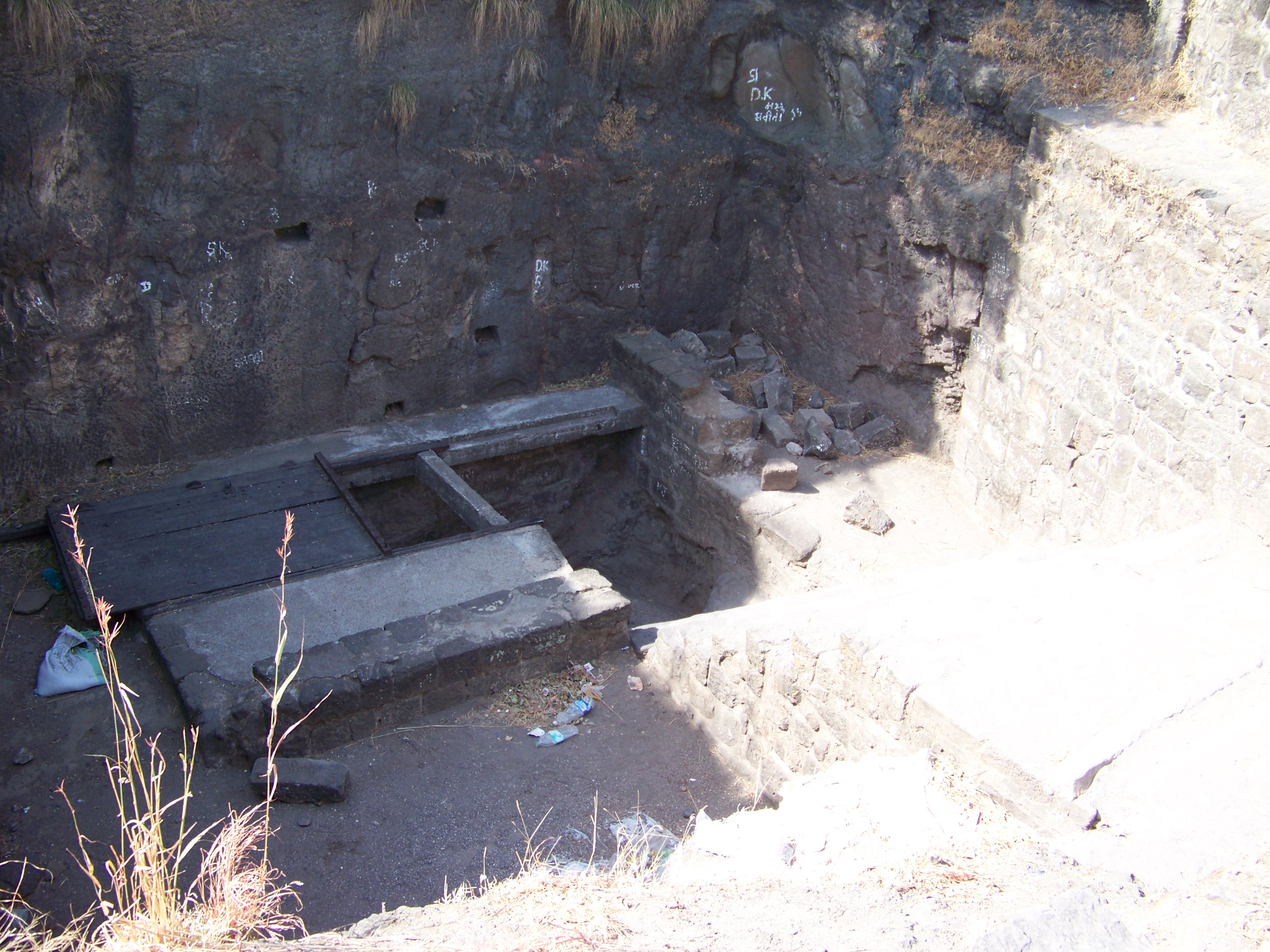
 =0=
=0=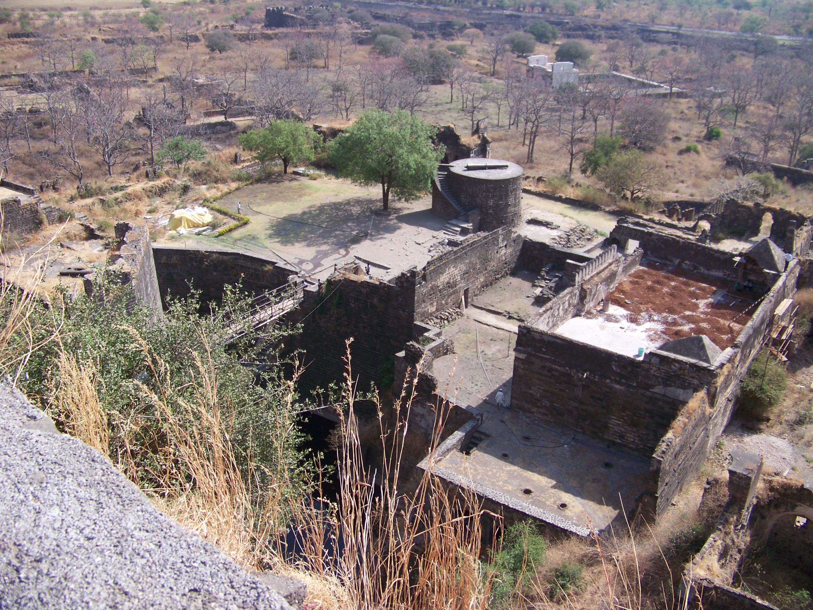
 =0=
=0=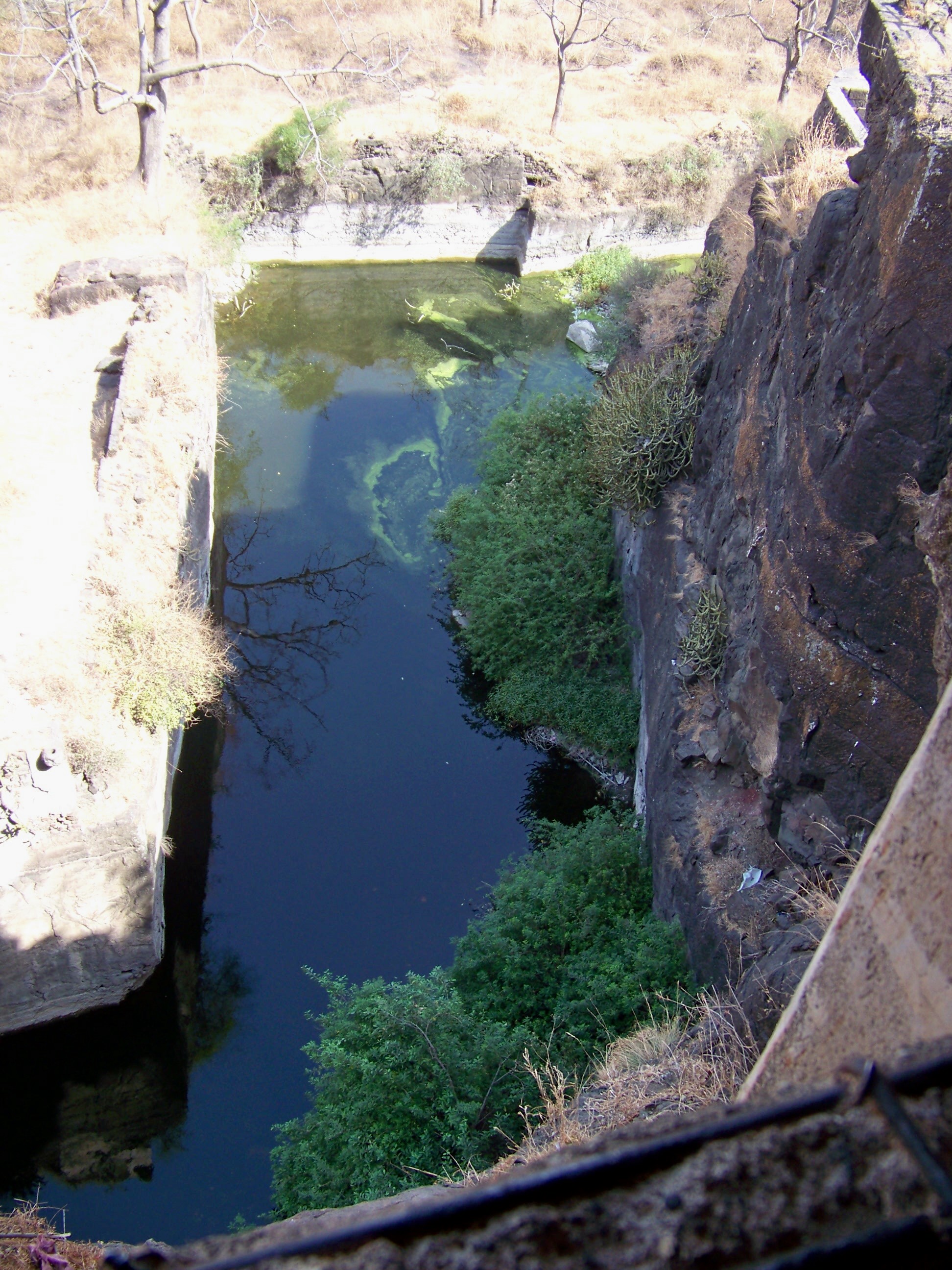
 =0=
=0=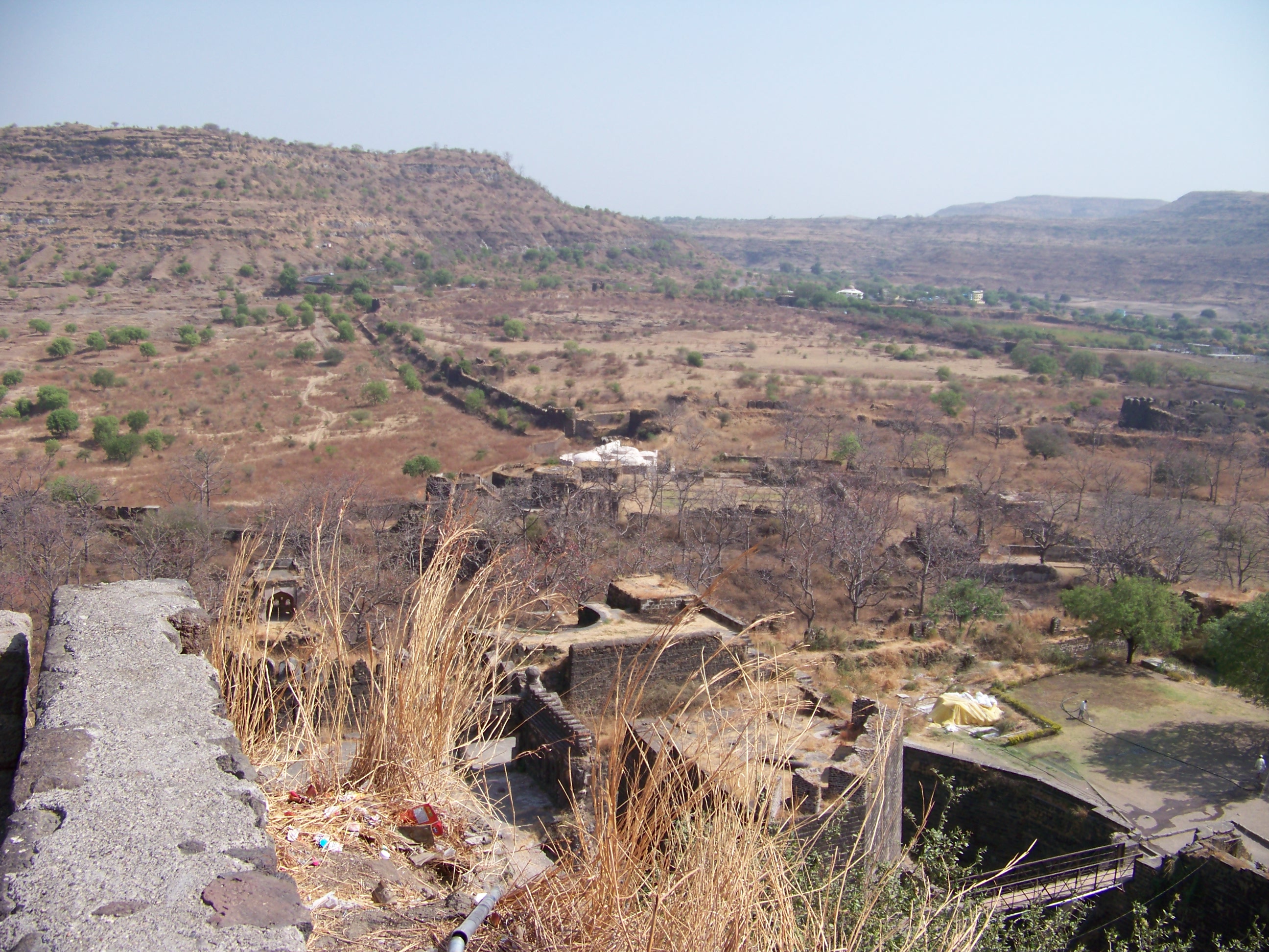
 =0=
=0=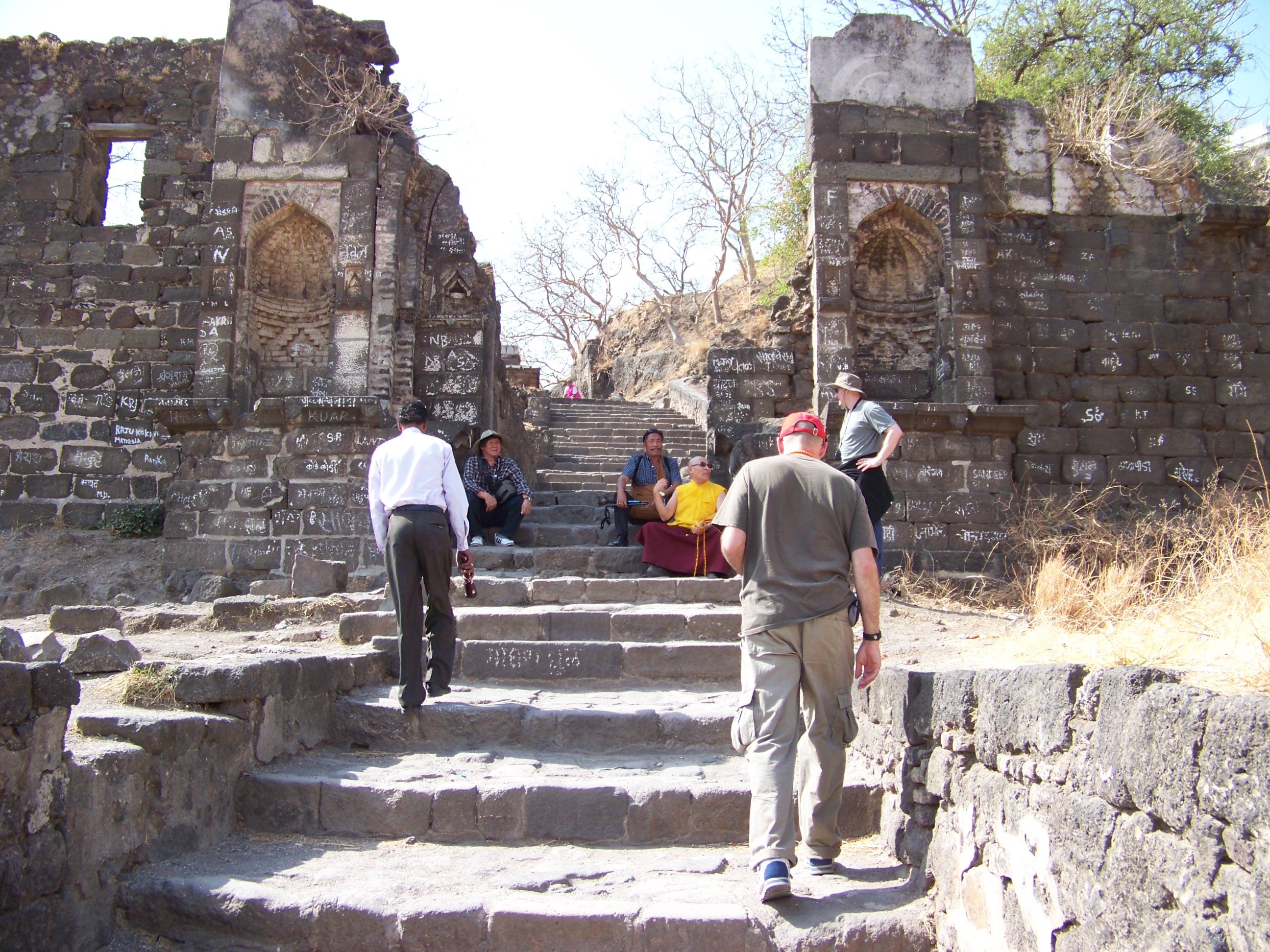
 =0=
=0=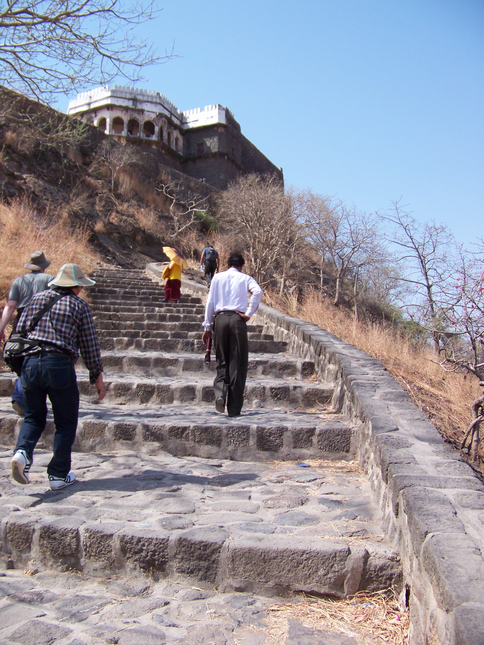
 =0=
=0=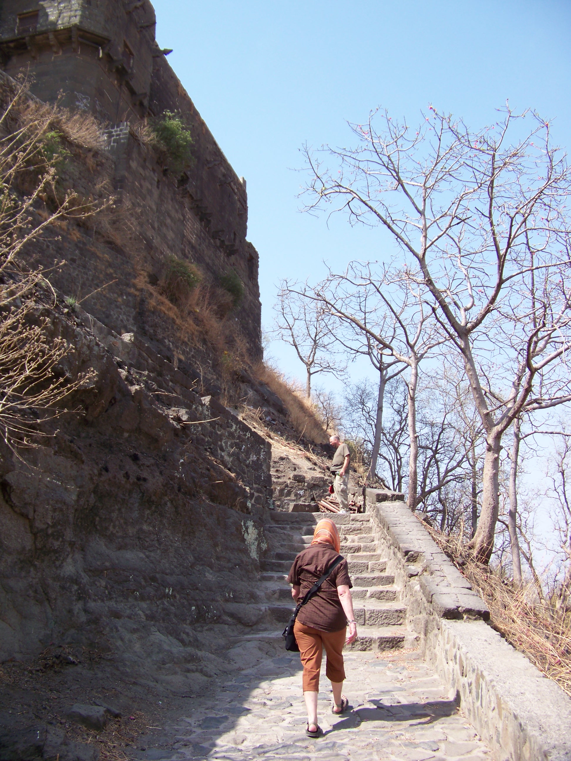
 =0=
=0=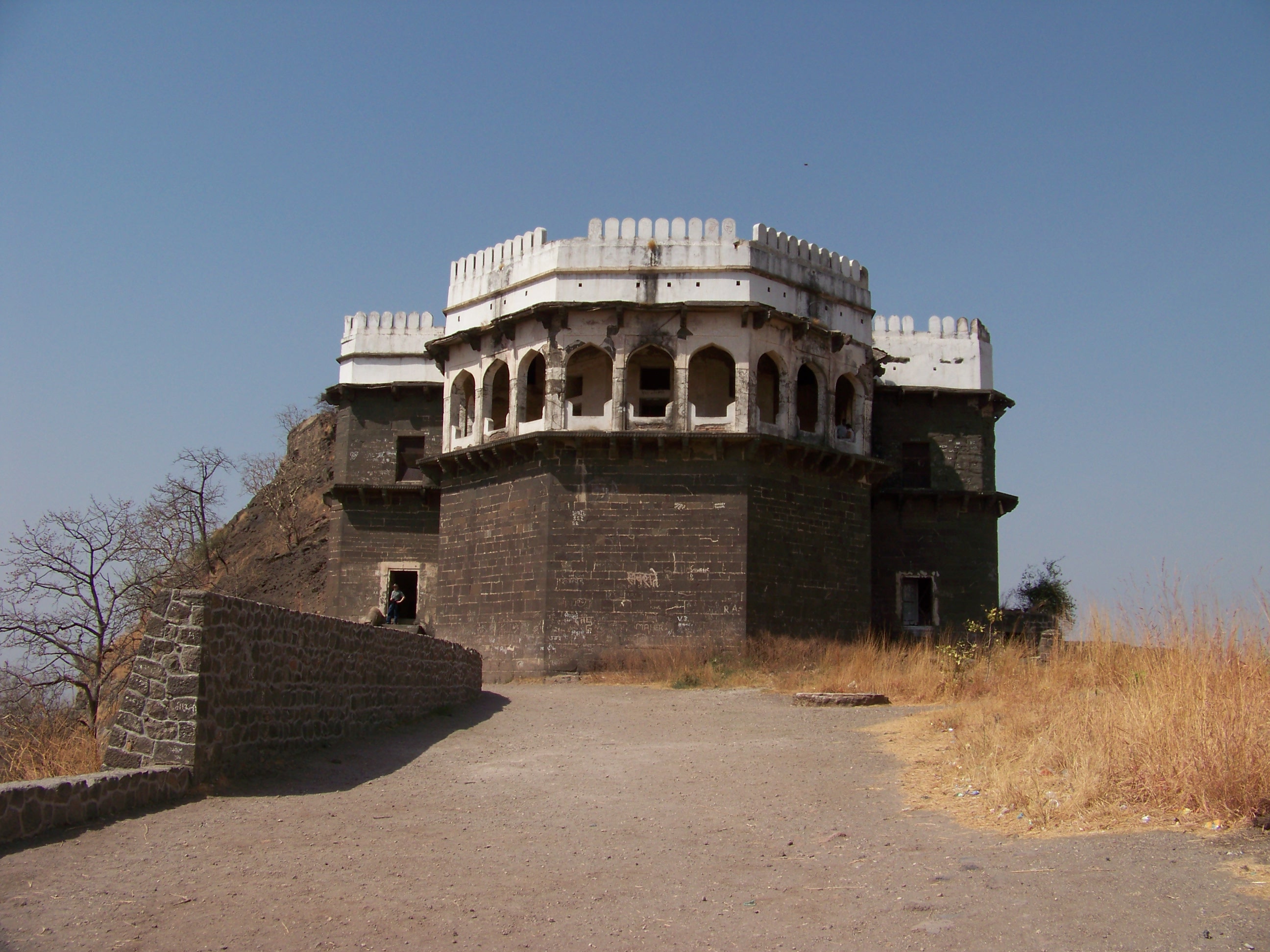
 =0=
=0=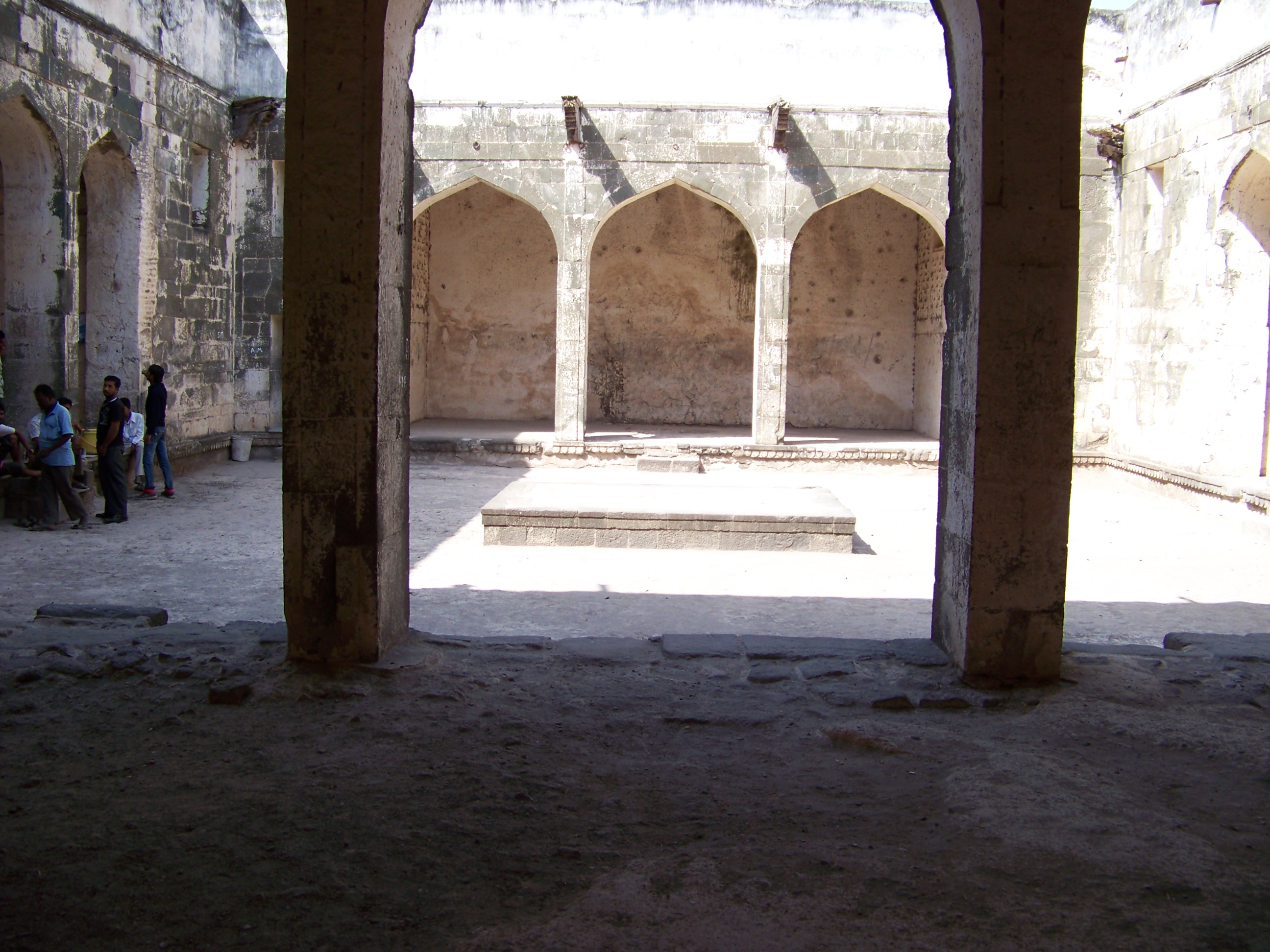
 =0=
=0=
 =0=
=0=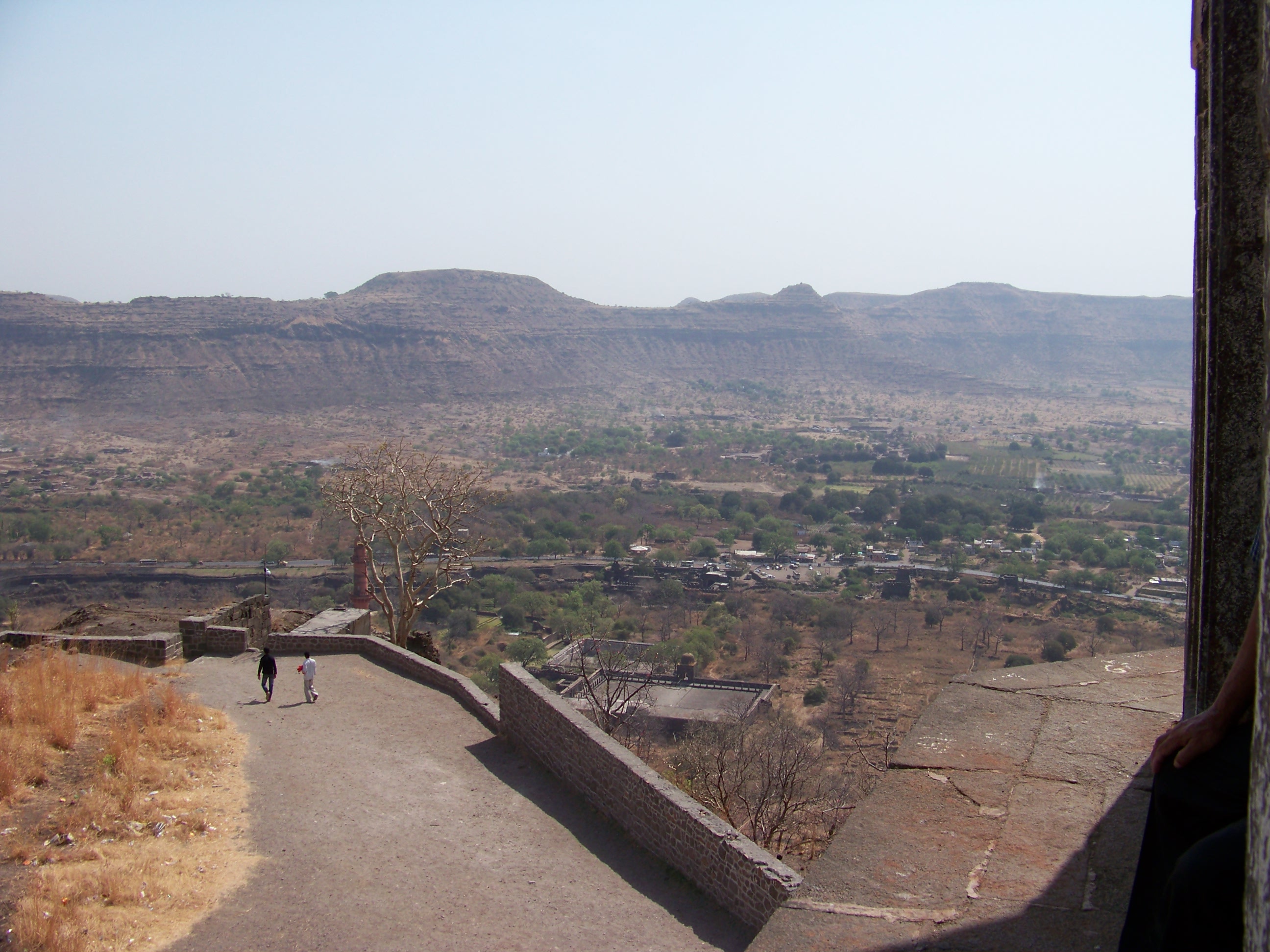
 =0=
=0=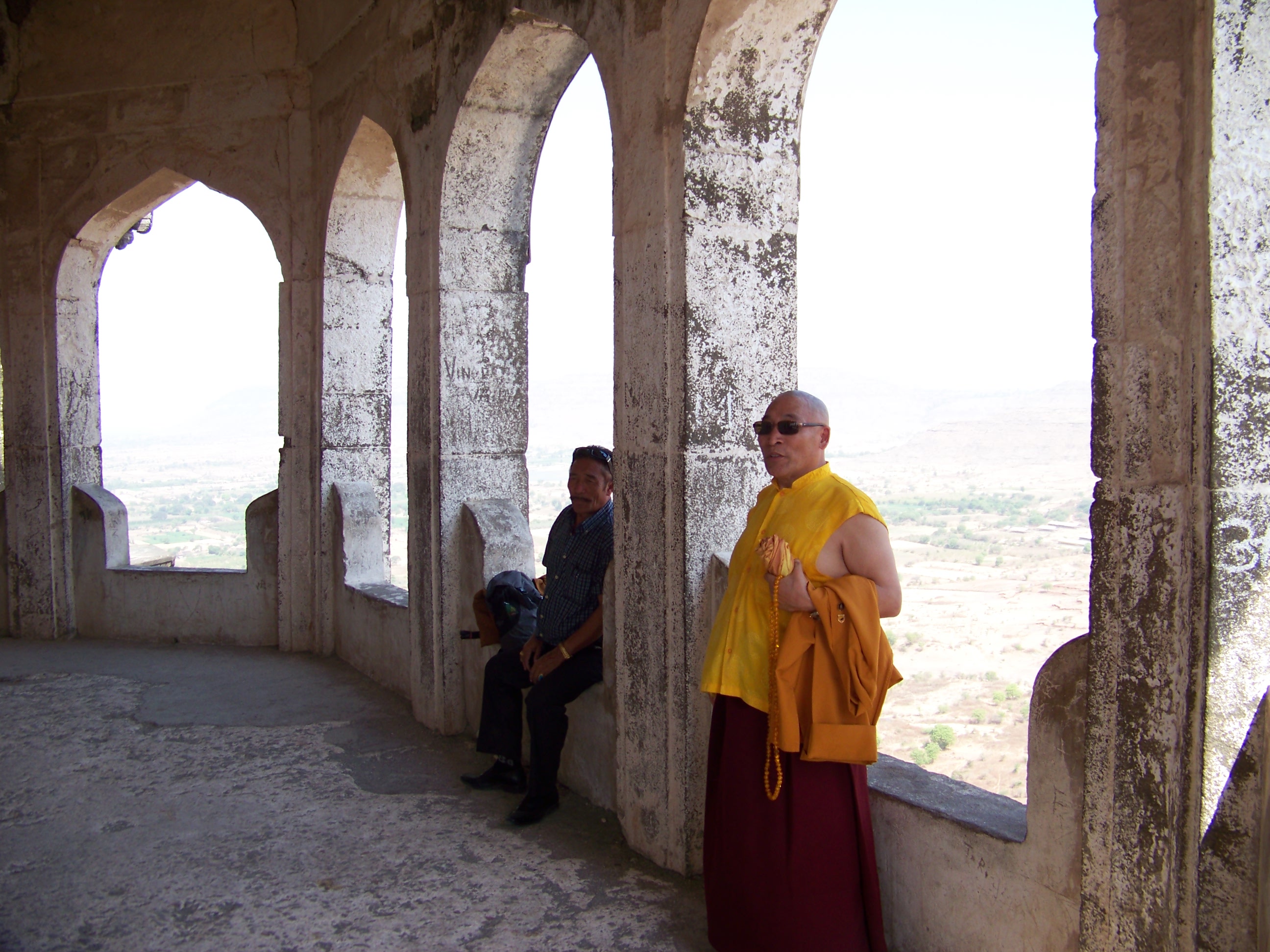
 =0=
=0=
 =0=
=0=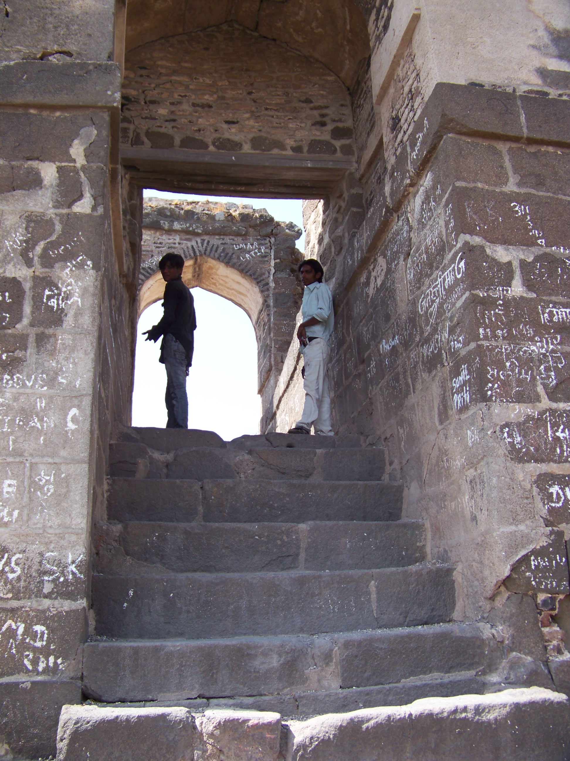
 =0=
=0=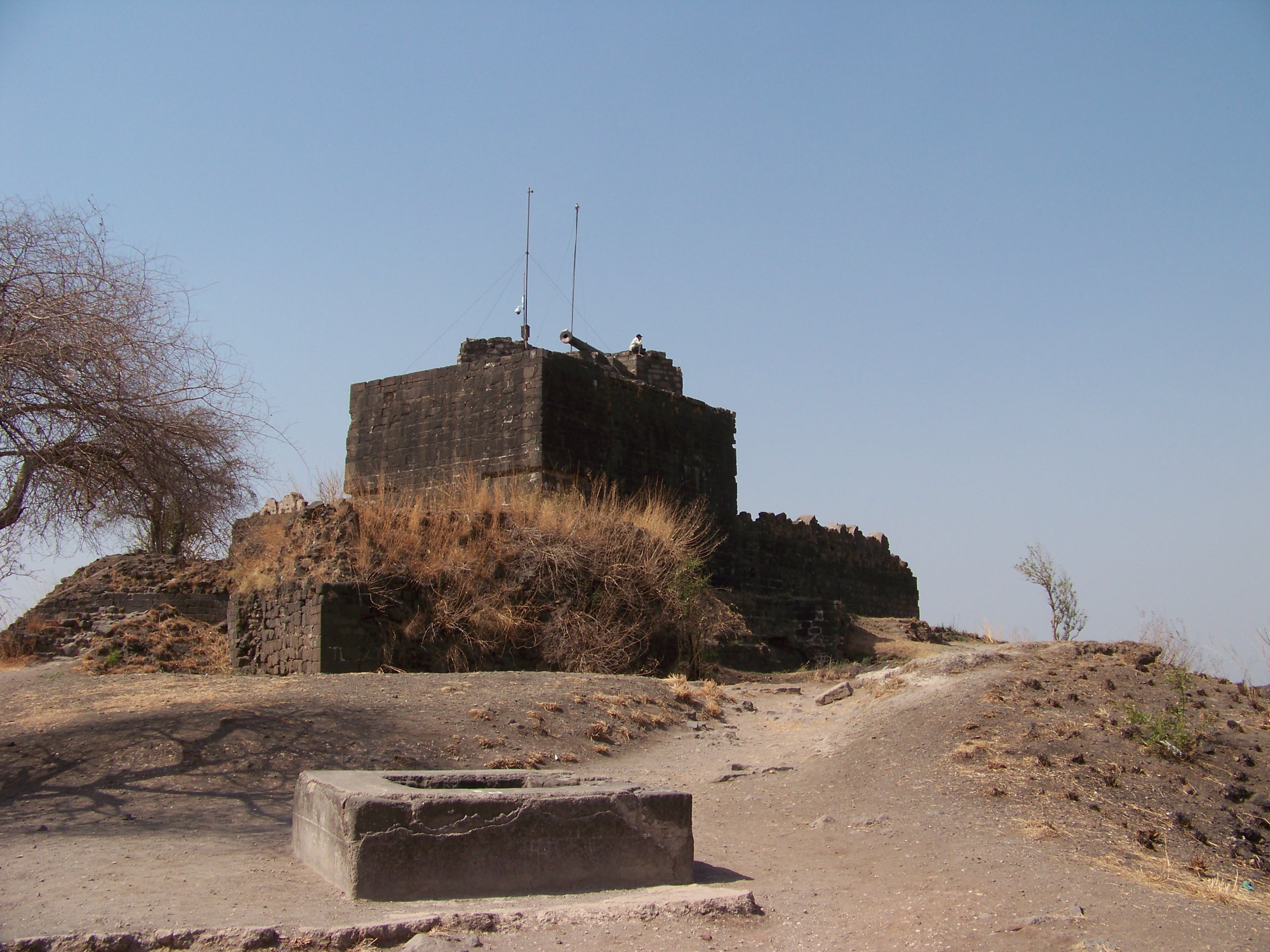
 =0=
=0=|
=0= |
=0= |
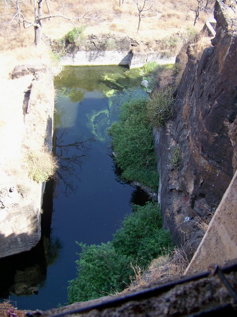
| Above is exit from the tunnel and in times of defense, it would be covered with an iron grate sheet and fire built on top of it sulphur and such to deprive the invaders of breathable air. From this height the moat looks most univiting as well. They would also keep crocoldiles and poisonous snakes in the moat. |
=0= |
|
=0= |
=0= |
|
=0= |
=0= |
| After that we started the trek to the top of the hill. Above you can see it was a long arduous climb with Guy, Tspak, Lamala, Wang Ga, and Patty and Chuck. Here and below is the palace. When the Indian army forced this region into India, this fort had been the Bureau of Taxation. What commute it must have been for anyone who worked in the palace area. Below is Lamala resting after the long climb with a wonderful view behind him (and there was a most comforting breeze, too). |
=0= |
|
=0= |
=0= |
|
=0= |
=0= |
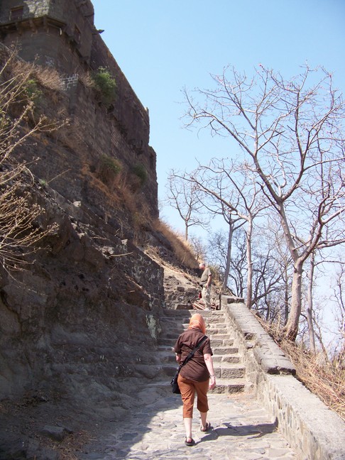
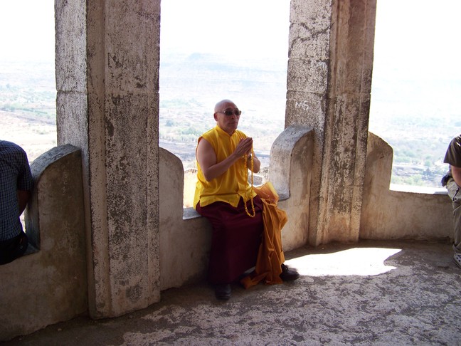
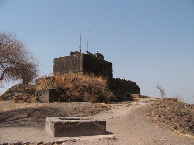
| The view from the palace was great, but I couldn't feel it was complete until I went to the top (and was later joined by most of the gang). Above is Wang Ga and Lamala. Below is the view of the real top of the hill after the last set of steps. |
=0= |
|
=0= |
=0= |
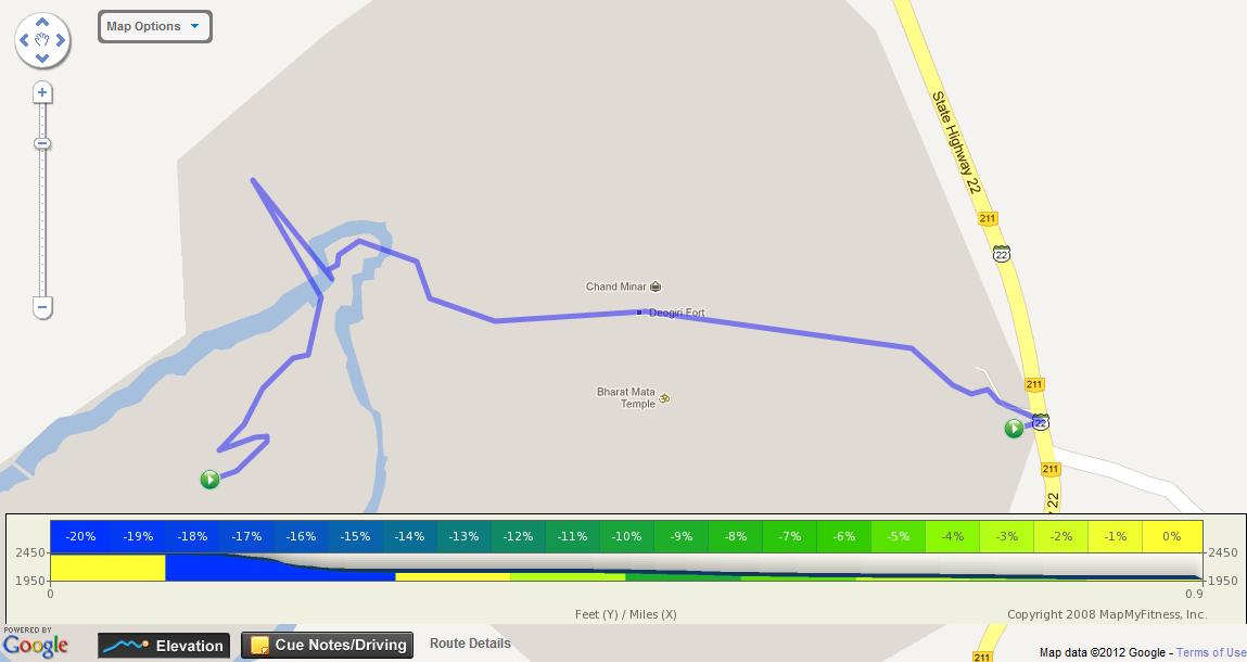
| I used my phone to map the route down from the fort complete with elevation. You can see the interactive map at http://www.mapmyfitness.com/routes/fullscreen/78169496/. |
=0= |
This page was last updated on March 28, 2012.