 =0=
=0= =0=
=0= =0=
=0= =0=
=0=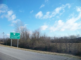 =0=
=0=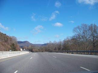 =0=
=0=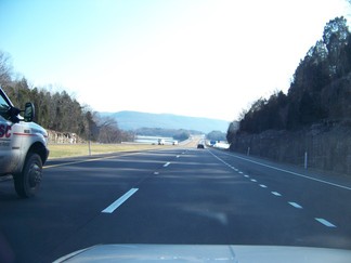 =0=
=0=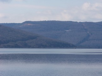 =0=
=0=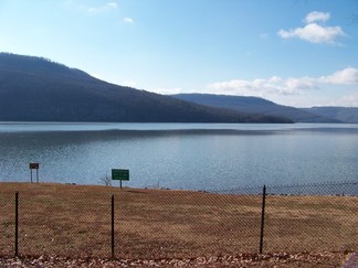 =0=
=0=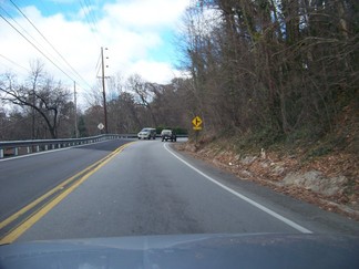 =0=
=0=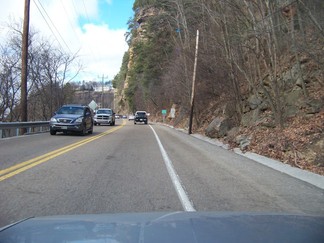 =0=
=0= =0=
=0=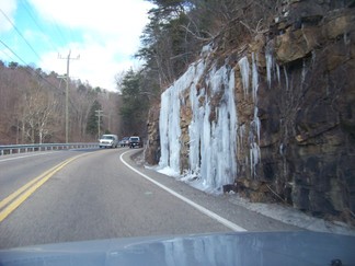 =0=
=0= =0=
=0= |
 =0=
=0= |
| On the return to Chattanooga and Herb and Ruby's, I let my GPS plot the route from the KTC after the Sunday dharma teachings. My GPS took my on I30 to I40 to US72, which was more than 2 hours longer than the preferred route (according to Google) of I20 to I59. If you think about it, it is not surprising that a stand alone GPS would get confused on really long routes. There are billions of routes between two cities like those and there are numerous routes which are not absurd. How is a poor GPS to choose the best one in reasonable time? In the future, for long trips I will check Google and make sure that I know which highways and cities are on the route I want. I got tired and stayed the night around Corinth, Mississippi. It was pretty cold out (about 20F I would guess), so drove about 15 minutes when I woke naturally; I did that three times during the night. Above and here are pictures of clay / cotton fields in northern Alabama (US72). |  =0=
=0= |
 =0=
=0= |
 =0=
=0= |
| US 72 was partly a divided highway, partly just two lanes. There were also places where the speed limit was lower as you went through towns. It required a good more attention than your average interstate highway, but I am not sure that it took more than two hours longer than the route through Memphis (US72 was almost certainly the shorter route). There was a cool bridge off to the right on US 72 and I tried to take a picture of it, but for some reason couldn't get my camera pointed right (above and here). As I got closer to Chattanooga it was back to interstates (below) and there was Tennessee River Nick-a-jack Reservoir which is shown below. |  =0=
=0= |
 =0=
=0= |
 =0=
=0= |
 =0=
=0= |
 =0=
=0= |
| When I returned in January 2010, US 127 had been repaired and here are some pictures on the completed road (had been one lane due to a landslide). As it was quite cold (about 15F) there were some nice ice waterfalls. |  =0=
=0= |
 =0=
=0= |
 =0=
=0= |
This page was last updated on January 9, 2010.