 =0=
=0=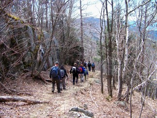 =0=
=0= =0=
=0=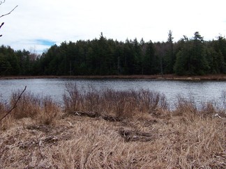 =0=
=0=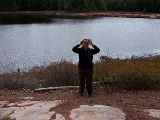 =0=
=0=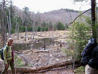 =0=
=0=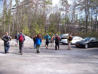 =0=
=0=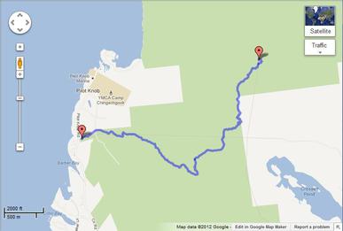 =0=
=0= =0=
=0=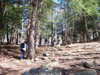 =0=
=0=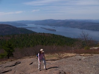 =0=
=0=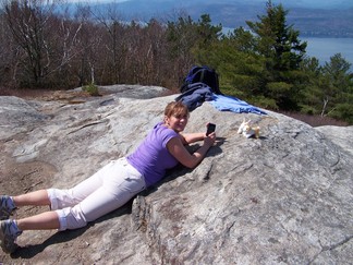 =0=
=0=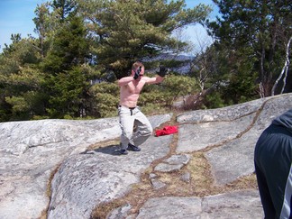 =0=
=0=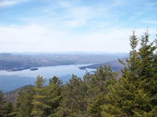 =0=
=0=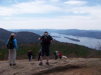 =0=
=0=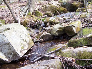 =0=
=0= =0=
=0= =0=
=0= |
 =0=
=0= |
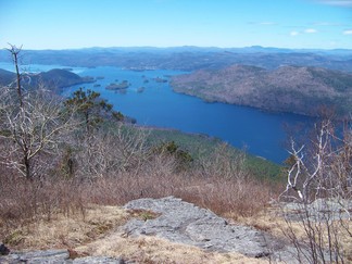
| There was a beautiful view from the top of Black Mtn. On the way back we passed a pond. Below is our leader, Theresa, as she was taking a picture of the group. |  =0=
=0= |
 =0=
=0= |
 =0=
=0= |
| On the last stretch back we crossed a stream which had flooded and created a new wetland. |  =0=
=0= |
 =0=
=0= |
 =0=
=0= |
| The next Saturday we went back to Lake George and hiked to Buck Mtn. I used Google's 'My Tracks' to record the route. It saves the results much more conveniently in Google Maps as shown above. However, it does not seem to average the GPS positions as well as 'MapMyRun' so that its distants are a little long (showing you moved around more than you really did because of the inaccuracies of the GPS) and does not show elevation changes as easily as MapMyRun. For now I may stick with MapMyRun until Google catches up. |  =0=
=0= |
| The group split up early on into two groups. One ran up the trail and the other hiked up the trail. The hike up started pretty gentle and then got pretty steep. I was with the hiking group and we arrived only a little behind the run group. It turns out they only ran the more gentle section (they weren't that crazy). |  =0=
=0= |
 =0=
=0= |
 =0=
=0= |
 =0=
=0= |
 =0=
=0= |
| This event was co-sponsored with the Northeast Extreme Adventure Club in Meetup so there was a younger crowd. The leader, Jon wanted to 'burpees' at the top shown above and in this shorter and longer video. We also crossed a stream on the part of the loop headed back and I made this video. |  =0=
=0= |
 =0=
=0= |
 =0=
=0= |
This page was last updated on April 26, 2012.