 =0=
=0=
 =0=
=0=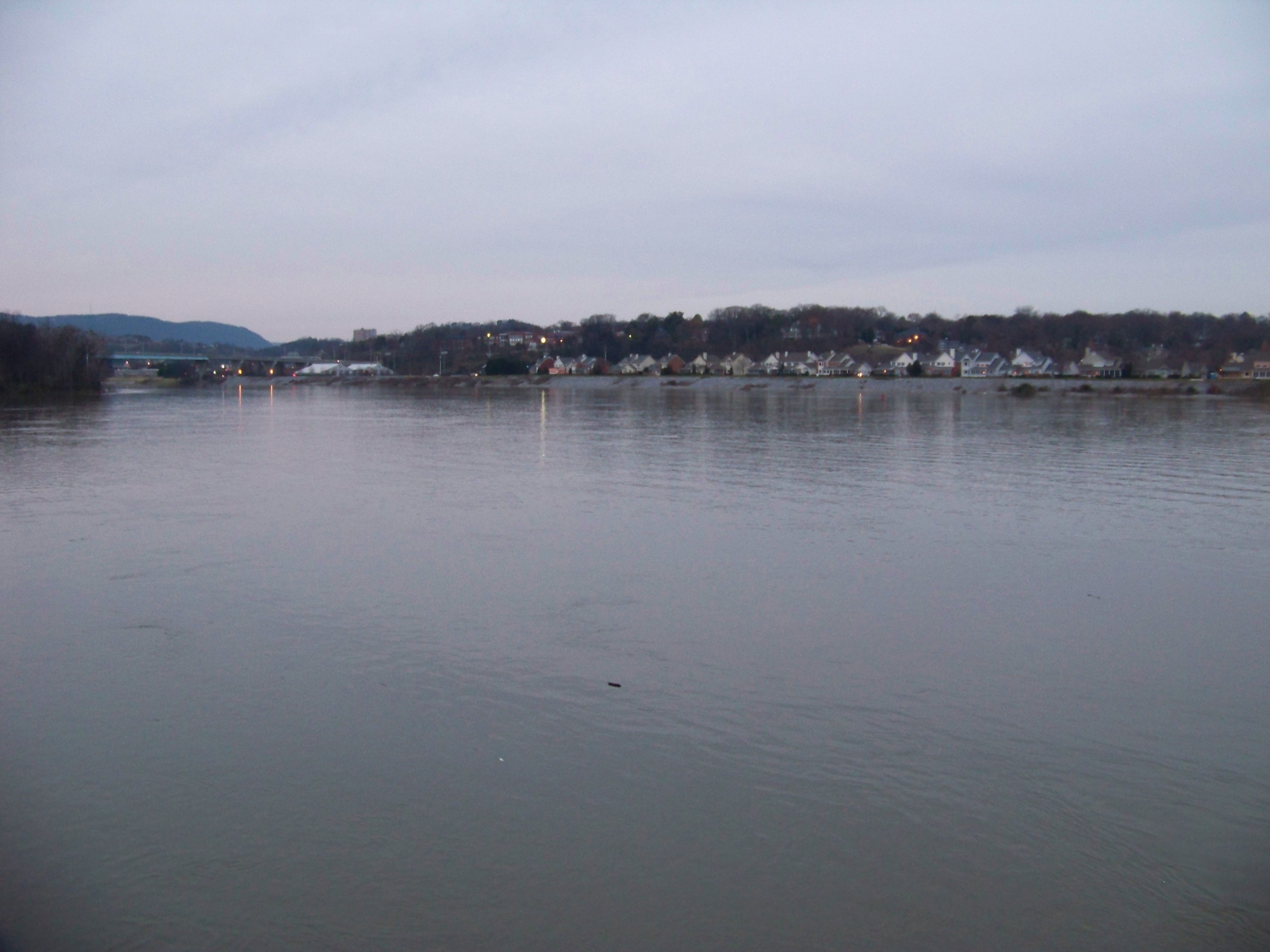
 =0=
=0=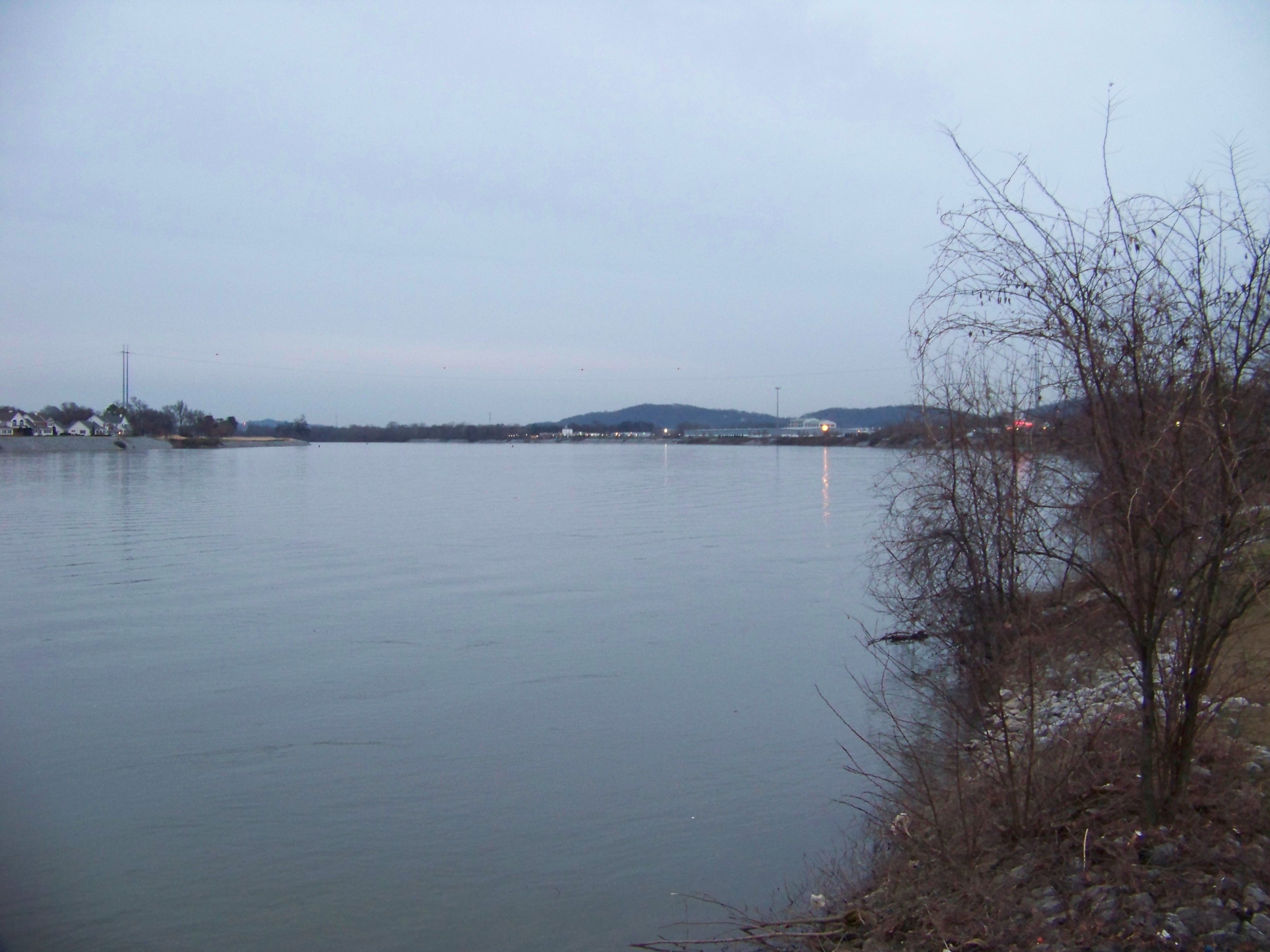
 =0=
=0=
 =0=
=0=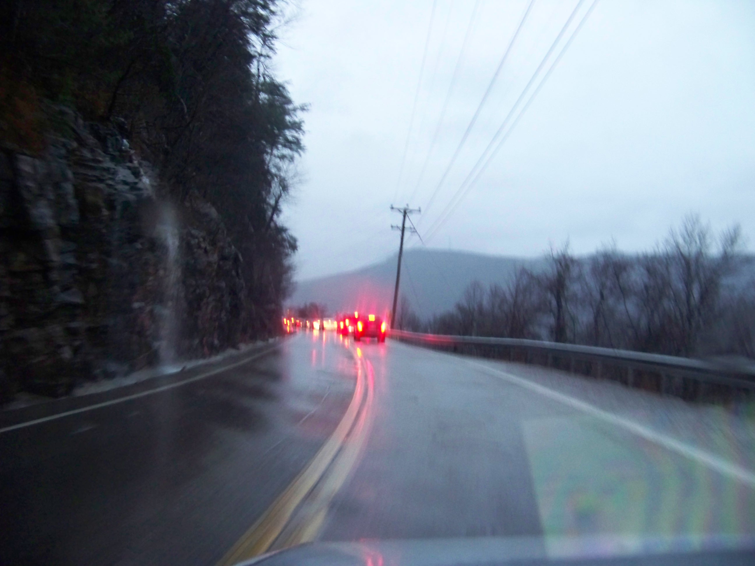
 =0=
=0=
 =0=
=0=
 =0=
=0=
 =0=
=0=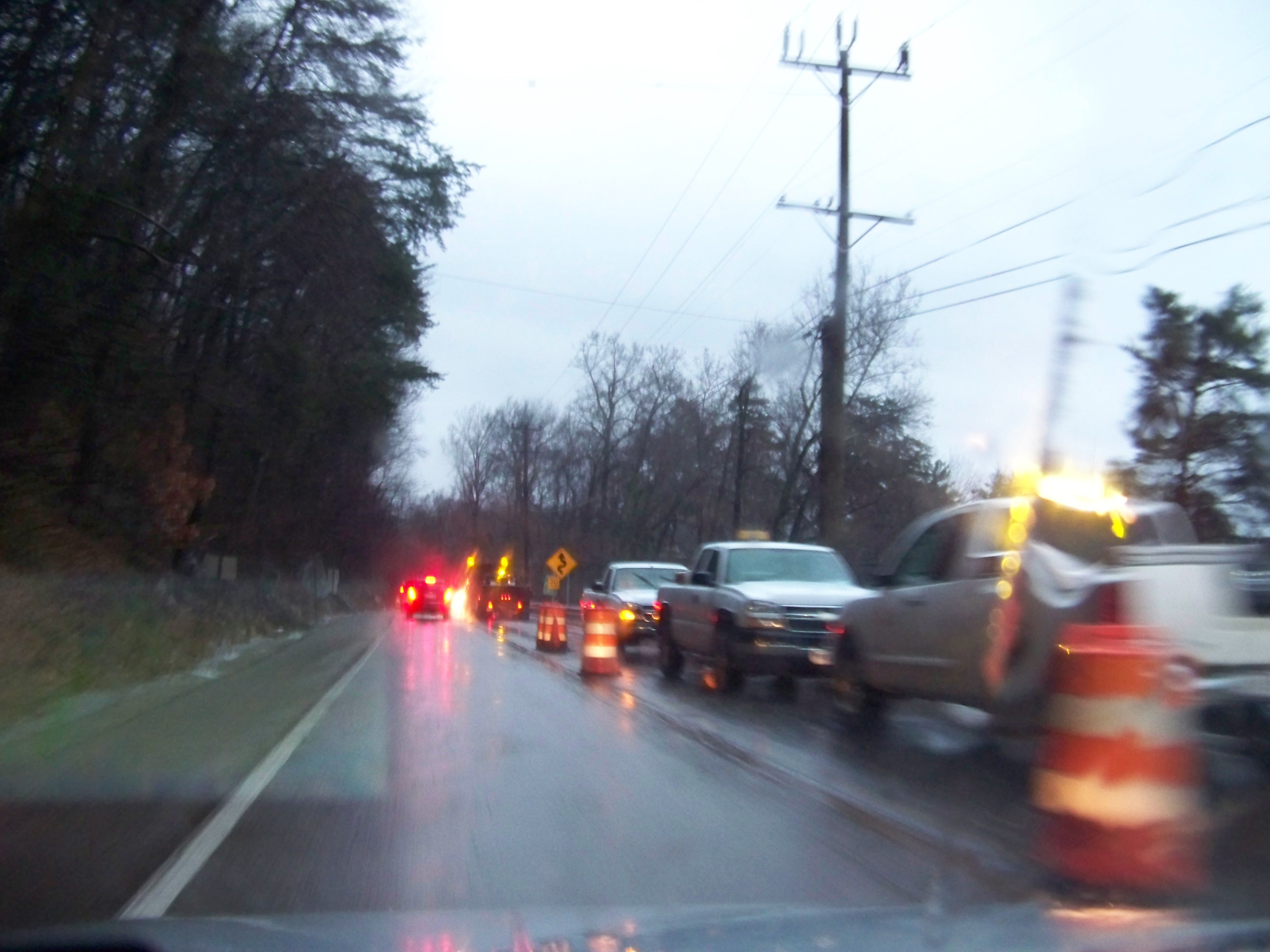
 =0=
=0=
 =0=
=0=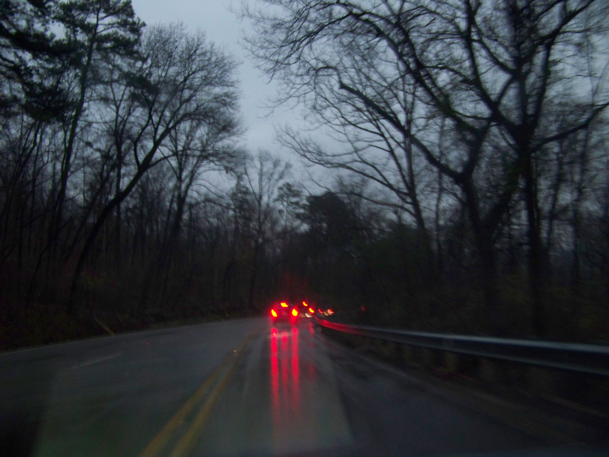
 =0=
=0=
 =0=
=0=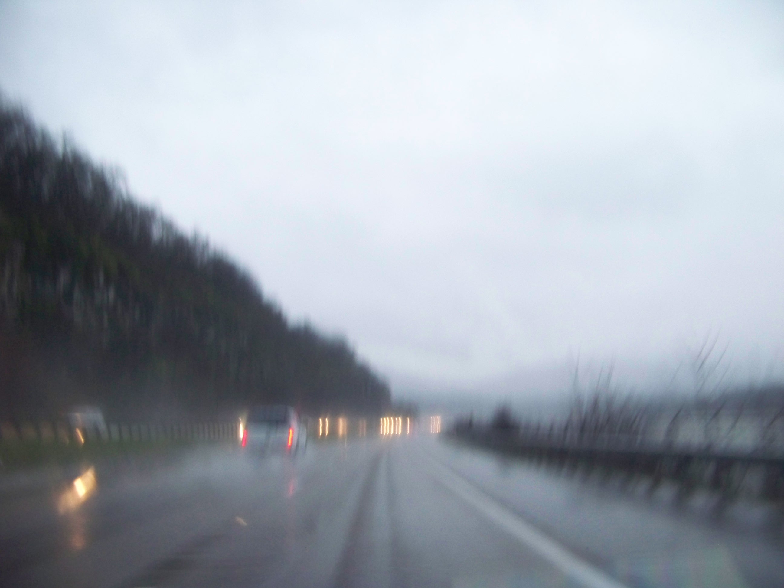
 =0=
=0=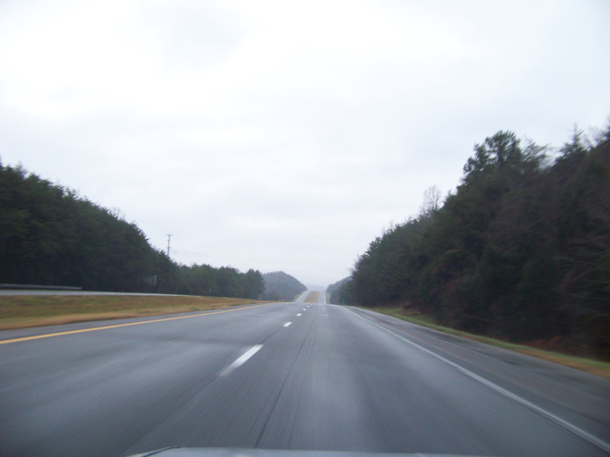
 =0=
=0=|
=0= |
=0= |
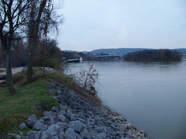
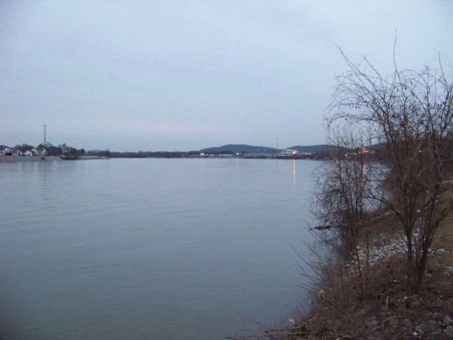
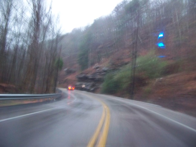
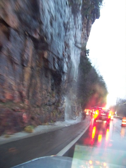
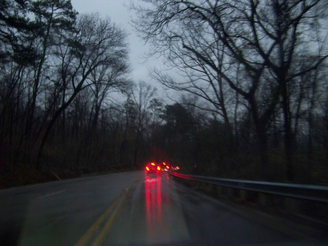
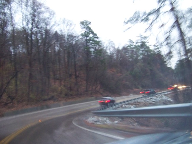
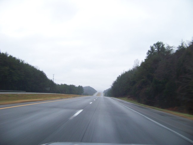
| Above and here are more pictures from the Chattanooga River Walk along the Tennessee river. Below are pictures of the other route up to the top of Signal Mountain, TN, US Rt 127. At first it was pretty clear sailing (though raining), but then there was the back up for the one lane section. |
=0= |
|
=0= |
=0= |
|
=0= |
=0= |
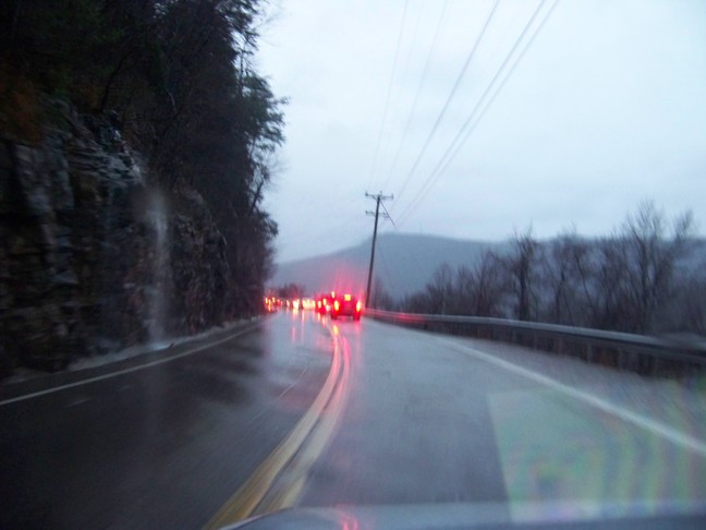
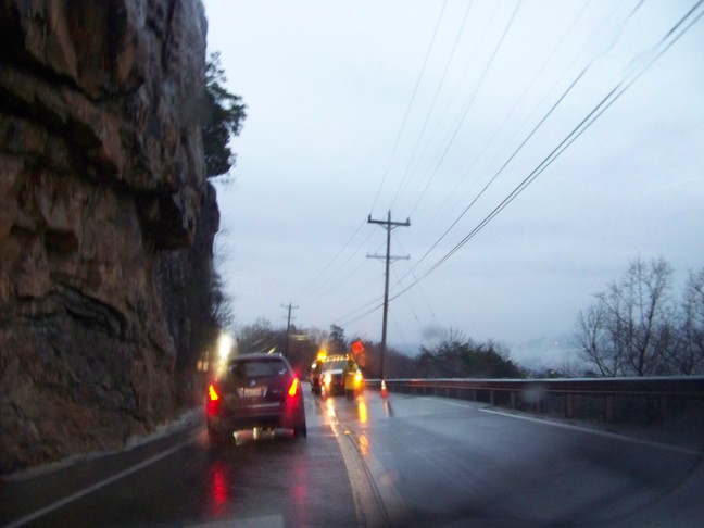
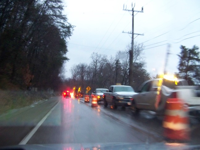
| It was raining pretty hard when I was leaving and so these pictures are pretty rough as I was trying to avoid the windshield wipers, but the water on the windshield obscured some of the details. Here you can see the backhoe and other equipment they were using. It looks like their repairs are pretty far along now. |
=0= |
|
=0= |
=0= |
|
=0= |
=0= |
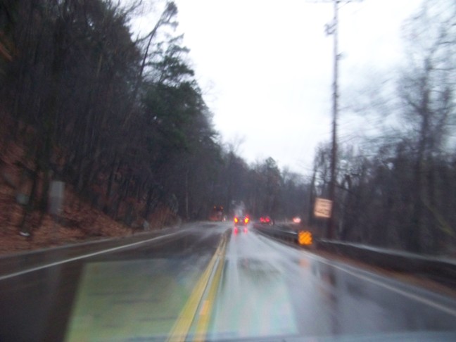
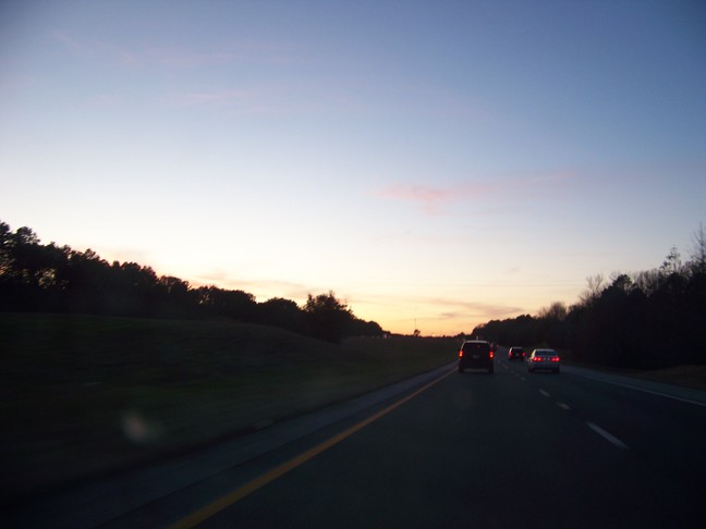
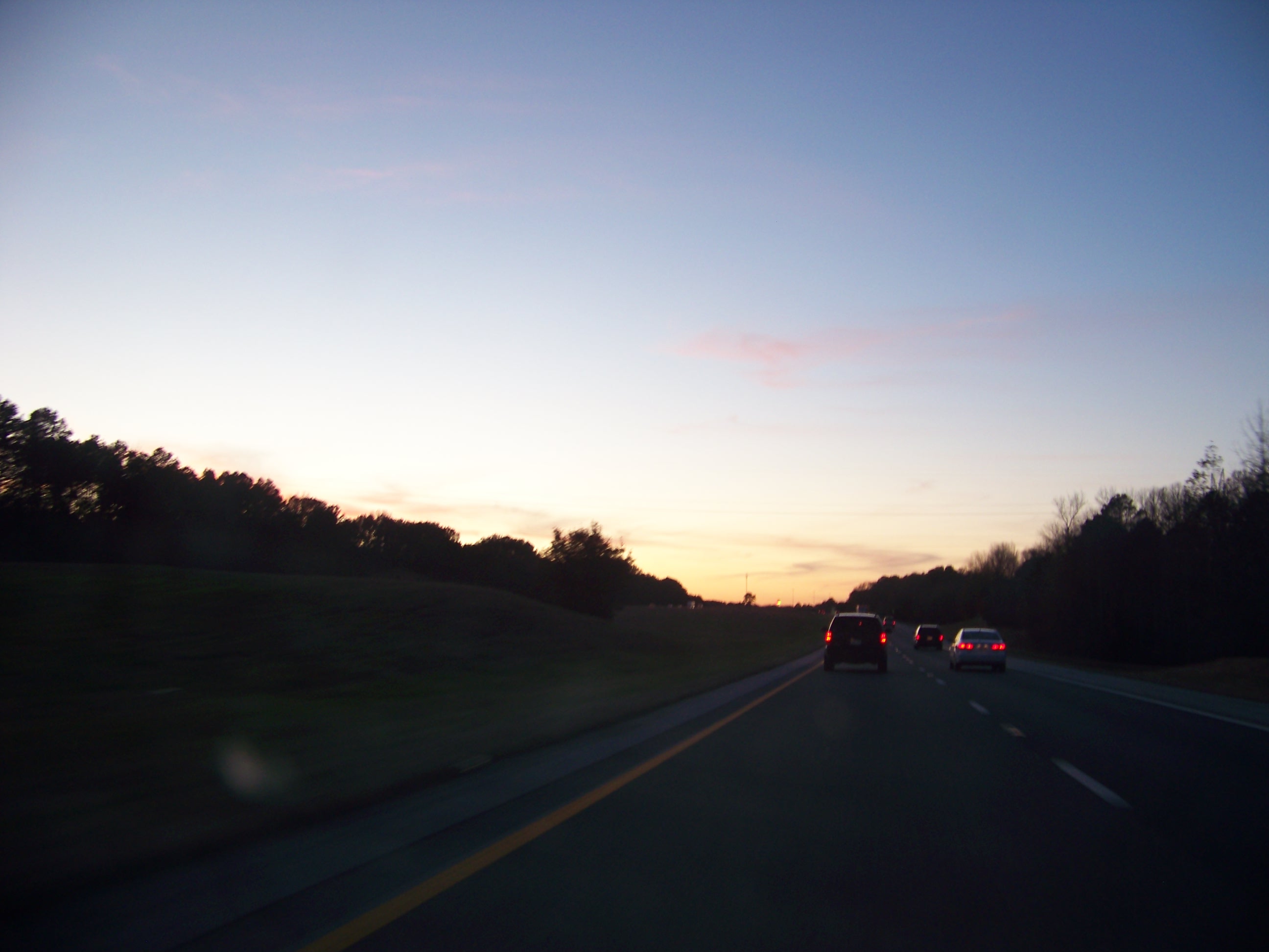
| After I got past the one lane section (where the landslide washed out one lane), US Rt 127 was a pretty normal two lane highway. Then I took I24 and I59 to the SW on my way to Dallas, TX. It was pretty much a straight shot west on I20. In a couple of hours I had outrun the rain and the rest of the drive was pretty uninteresting with a pretty sunset in Texsas (below). |
=0= |
|
=0= |
=0= |
This page was last updated on January 9, 2010.